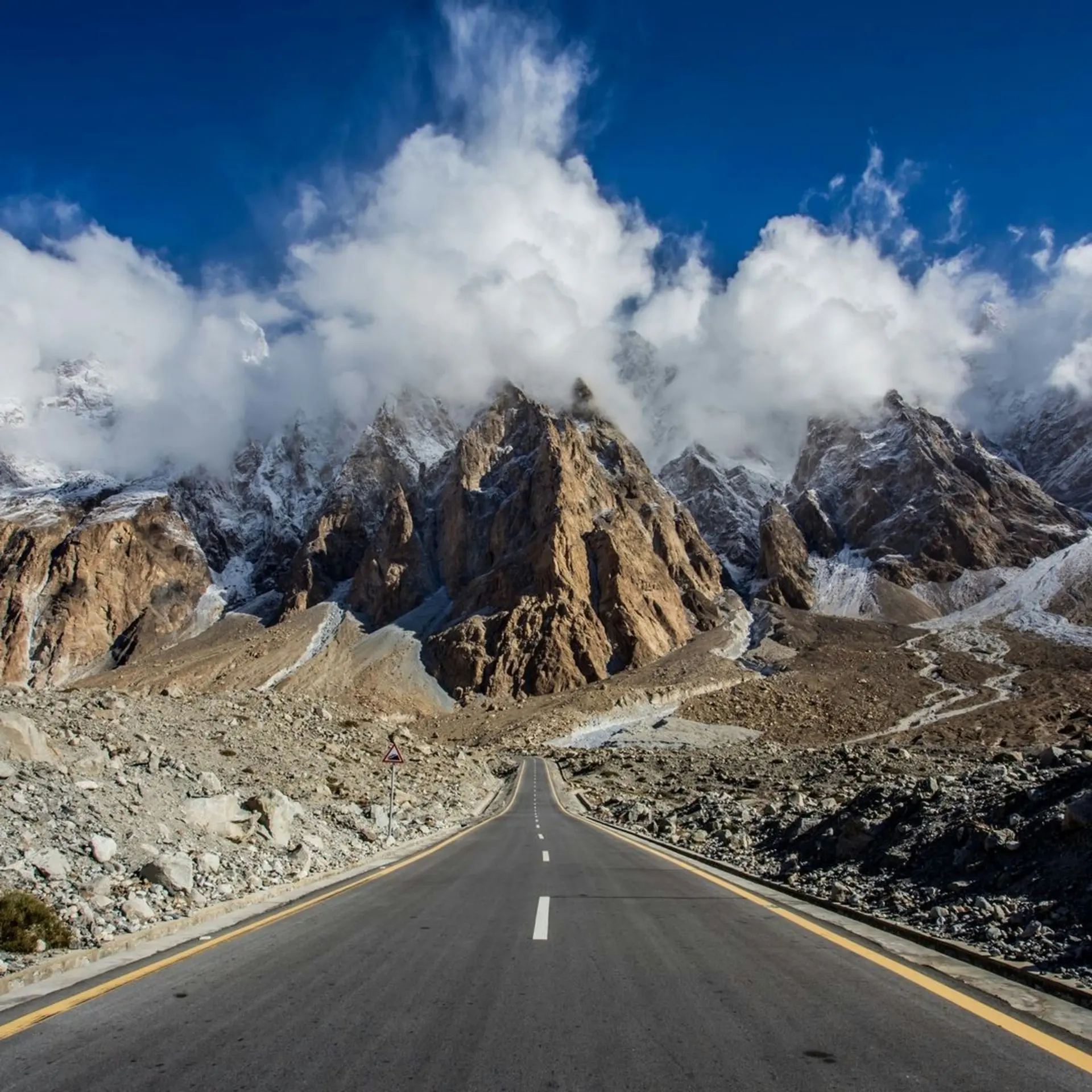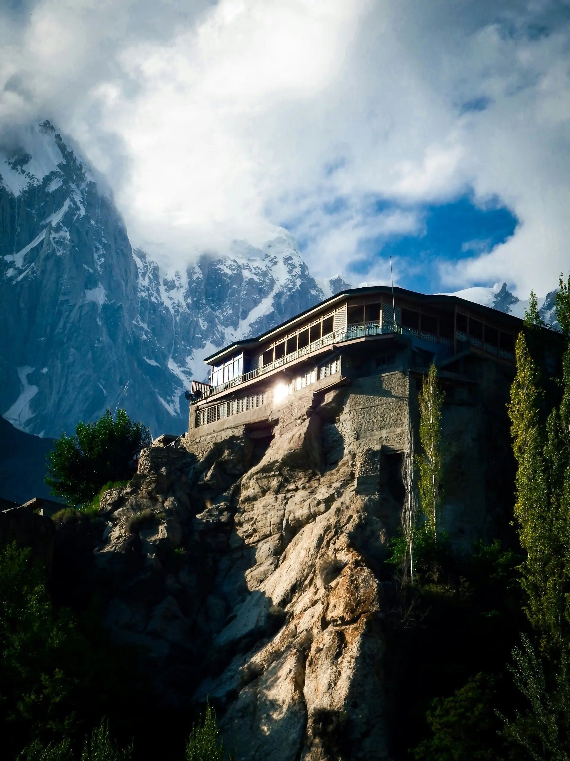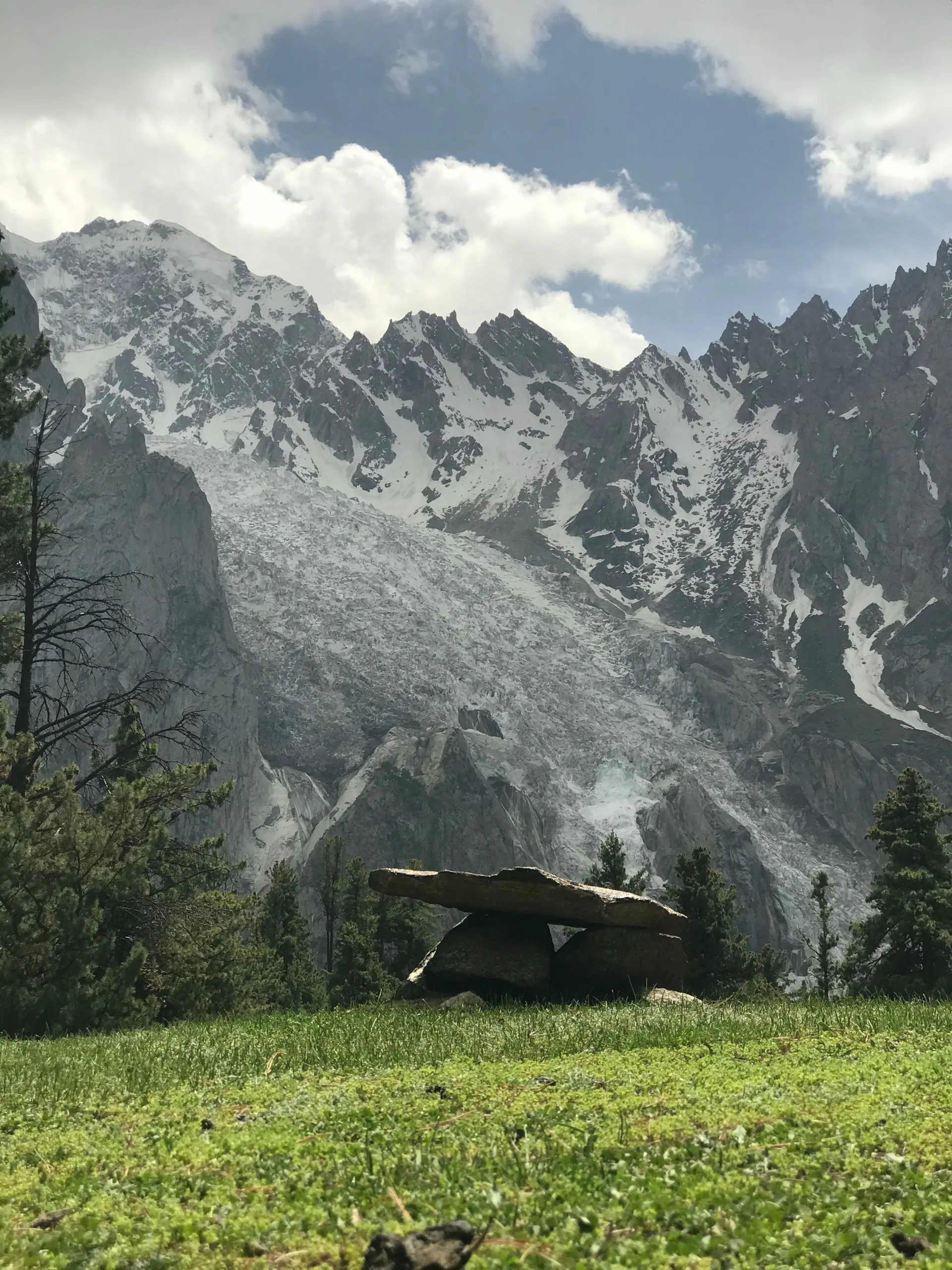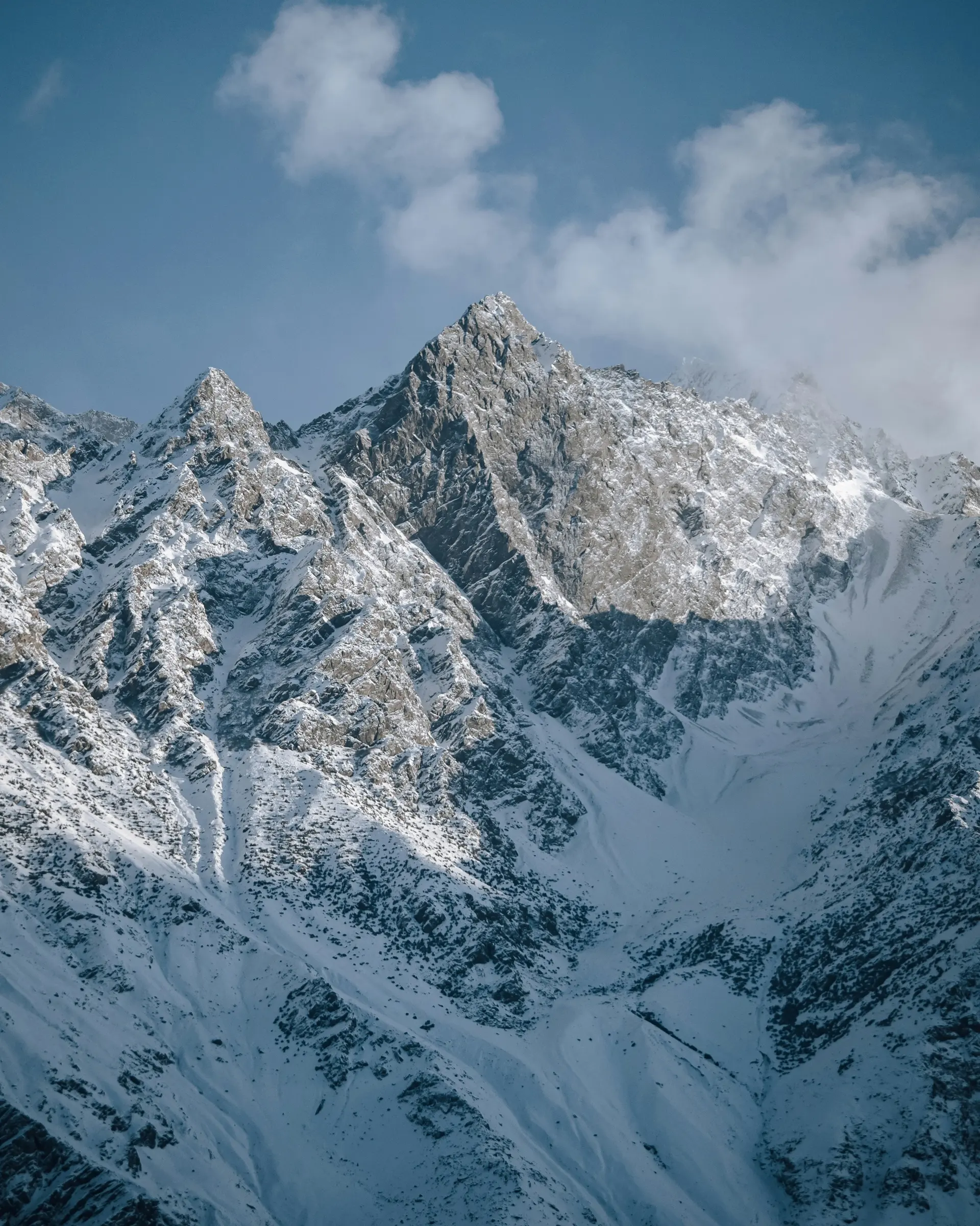
The thing nobody warns you about is the sand. Skardu sits in a wide bowl on the Indus at 2,230 metres, dunes on the valley floor and the Karakoram stacked behind them. You land expecting mountains. You get a desert with mountains around it, and it looks nothing like Hunza.
Skardu also isn't the destination. It's the hinge. Baltistan is a set of valleys running off the Indus and the Shyok and the town is where they meet: airfield, bazaar, operators. Everything you came for is one to five hours up one of them. Book four nights in town without a vehicle and you've booked the wrong trip.
The shape of Baltistan
Start with the bowl. Above the bazaar on a crag stands Kharpocho, a defensive fort with none of the softness of the palaces further out. Walk up your first evening: the Indus braiding across the floor, the airstrip, the dunes of the Katpana cold desert on the town's western edge, the Karakoram closing the north.
West, twenty minutes down the Gilgit road, are the Kachura lakes, the lower one carrying the resort you've seen on every poster of northern Pakistan. Further west a jeep track turns into Basho, a forested side valley almost nobody puts on an itinerary: pines, water, somewhere to camp, nothing like the rest of Baltistan.
South, the road climbs past Sadpara and its lake onto Deosai, which isn't a day trip in the ordinary sense. North, over a rise out of the bowl, the Shigar valley opens: Shigar Fort, then the road running on up the Braldu towards Askole. Half a day to the fort and back; going further is another order of commitment.
East is the longest day anyone does from here. The road follows the Shyok to Khaplu, seat of the old raja and now the centre of Ghanche district, with Khaplu Palace above the town. Behind it the Hushe valley runs south and ends at Hushe village under Masherbrum. That corner costs you nights, not hours.
The mountains behind the town
Skardu is the staging town for the Baltoro. Half the loaded jeeps in the bazaar go north up the Shigar, into the Braldu, to Askole. Askole is where the road ends, and everything past it is walked, with porters.
Follow the Baltoro glacier up and you reach Concordia, where it meets the Godwin-Austen. Four of the world's fourteen eight-thousand-metre peaks stand within sight of that one campsite: K2 at 8,611 metres up the Godwin-Austen arm with base camp beyond, Broad Peak and the Gasherbrums filling the rest. Nowhere else stacks high mountain like this, which is why the permits, the porters and the prices behave as they do.
Now the distinction the bazaar will blur. Climbing K2 is an expedition: a permit, a season, a team, experience that would mean you weren't reading this page. Walking to Concordia and K2 base camp is a trek. A hard one, at altitude, on glacier moraine, with time measured in weeks rather than days, and a fit person who has hiked properly before can do it with a good outfitter. The Biafo and Hispar glaciers meet high up and run west into Nagar, one of the longest glacier walks outside the poles. Masherbrum and the peaks above Hushe are climbing objectives rather than walking ones.
Permits for the K2 area exist and their terms change, so we won't print a rule that may be out of date by the time you read it. Your outfitter arranges them; ask them where it stands. Tours and treks has what an operator is actually for.
Deosai on its own terms
South of Sadpara the road climbs until it runs out of climb and you're on Deosai: 4,114 metres, one of the highest plateaux in the world, flat in every direction. It's a national park, and the reason is the Himalayan brown bear, shot down to a remnant here before protection came in. Don't expect to see one. Marmots you'll see all day, and for a few weeks after the snow goes the plateau flowers at once.
The track is unsealed, usually passable from late June to mid-September and under deep snow the rest of the year. Nobody publishes an opening date you can plan against, which is why passes and roads tells you to ask in town.
Be clear which Deosai trip you're doing. Up from Skardu and back down the same track is a long day out, and it works. Crossing is another thing: keep south, come off the far side into Astore under Nanga Parbat's 8,126-metre south face, and you're closer to Fairy Meadows than to your hotel. Fuel, daylight and a bed have to be settled first.
The Balti part
Baltistan is Tibetan at the root. Balti is a Tibetic language, closer to what's spoken over the line in Ladakh than to anything else in Pakistan. Urdu handles every transaction; Balti is what people speak to each other while they do it.
The buildings say the same. Khaplu Palace and Shigar Fort look nothing like Baltit and Altit in Hunza: timber frames, stone infill, carved balconies, dark rooms built to hold heat. Both were near ruins, the Aga Khan Trust for Culture spent years on each, and both run as small hotels now, so you can sleep in one.
Go after the food; it won't be on a hotel menu unless you ask. Balay is hand-cut wheat noodles in a broth thick enough to want a spoon. Prapu is denser again, flour worked with apricot oil, what porters eat before a long day. Butter tea is salted rather than sweet and the first cup is a shock. Apricots are everywhere in late summer, drying on flat roofs and pressed for that oil.
Getting in is the whole planning problem
Two ways in, and neither is a formality. The flight from Islamabad is short and the approach is one of the best you'll ever fly. Skardu is comfortably the busier northern airfield, several times Gilgit's passengers and double its movements: 179,454 passengers and 1,225 aircraft movements in the official FY2024-25 count. It's a visual approach into high terrain, so the weather decides and decides late. Treat it as a bonus rather than a fixture, and book nothing else for the day you land. Skardu and Gilgit flights covers the morning it doesn't go.
The road is 604 kilometres and somewhere between 14 and 20 hours from Islamabad. That spread isn't hedging: it's the gap between a clean run and a day of checkposts and a slope down across the Skardu Road. The KKH via Besham runs year-round and crosses an advisory zone that matters to your insurance; Babusar in summer is shorter, better driving and seasonal. Islamabad to Skardu has the comparison, and we wrote it first because page one of Google gives three answers, two of which cost you a day.
Coming from Hunza it's 210 kilometres and 5 to 8 hours up the Indus from Gilgit. That road has been rebuilt in stages, so throw out any timing published before 2020. It's the reason a two-valley trip works at all.
When to go, or go to Hunza instead
The season is shorter than Hunza's and the windows inside it shorter again. If Deosai or a trek is the point, best time to visit is where you start, not what you check once the flights are booked.
Then pick the valley deliberately. People end up in Skardu because a flight looked cheap, then spend the week wishing they were somewhere greener, and it happens the other way too. We've picked a side: Hunza or Skardu. Skardu won't fit a 10-day trip that also wants Hunza; at 14 days they stop competing.
Three pages carry it from here: where to stay for town, Kachura or Shigar, things to do for what a day involves, and best time to visit for the month to pick.