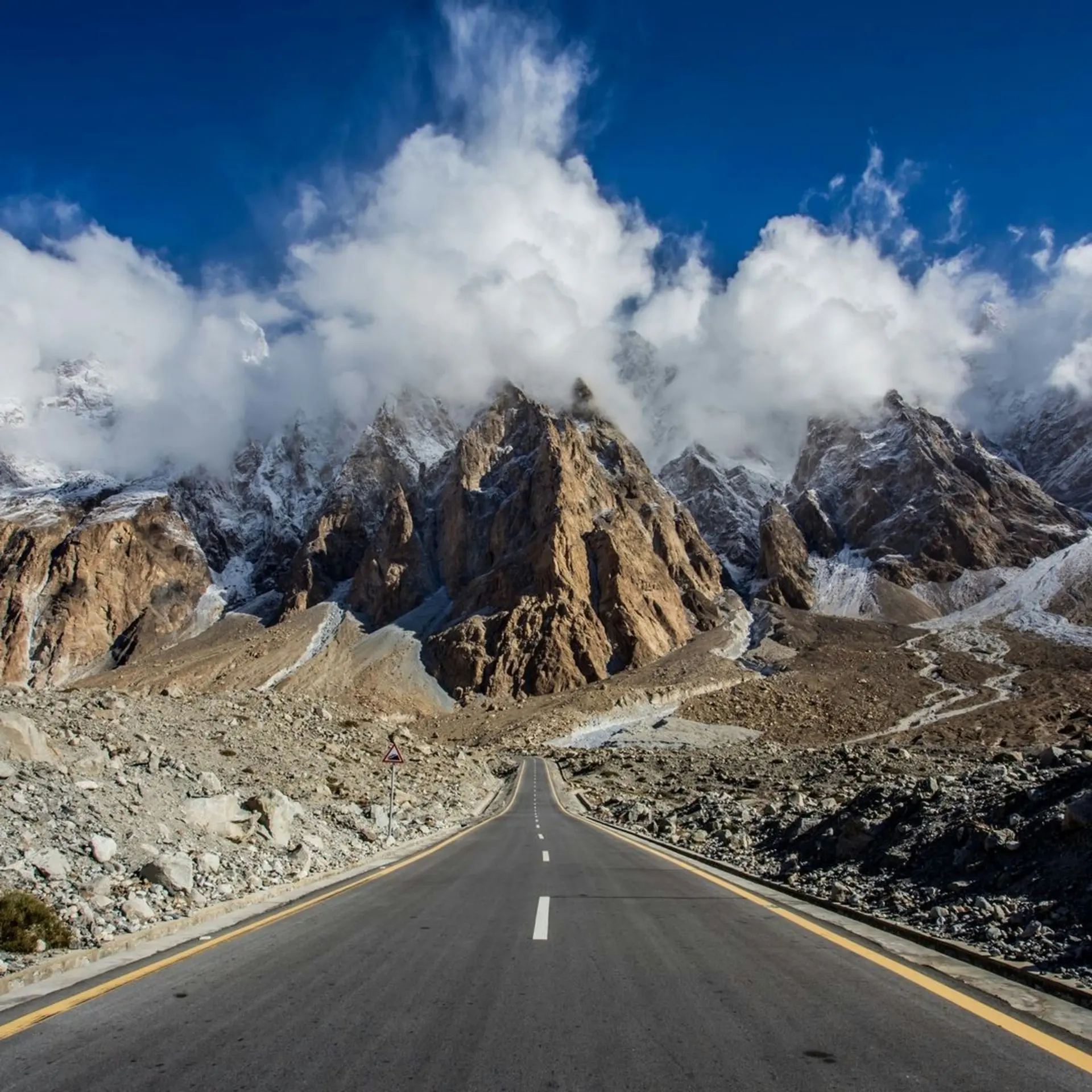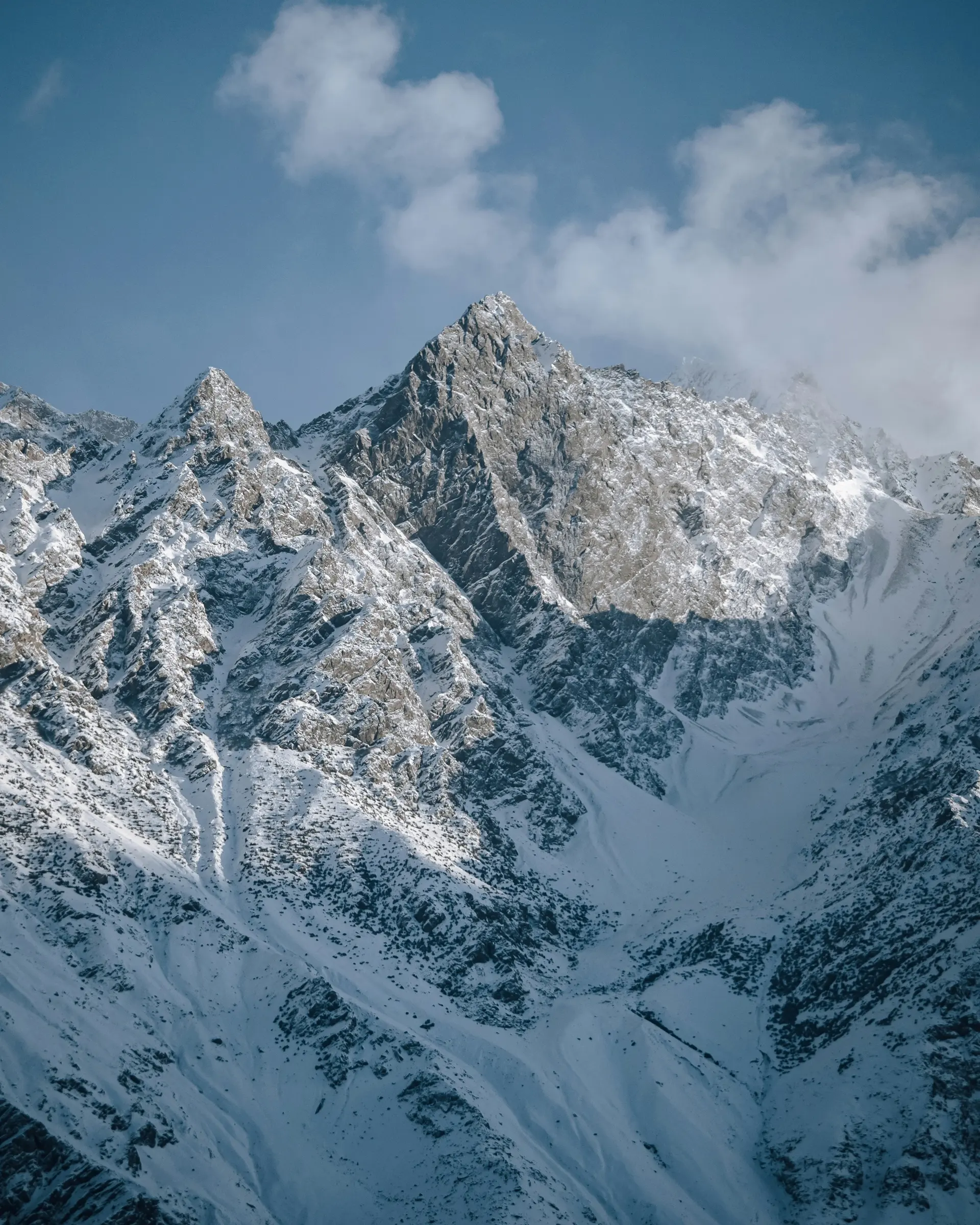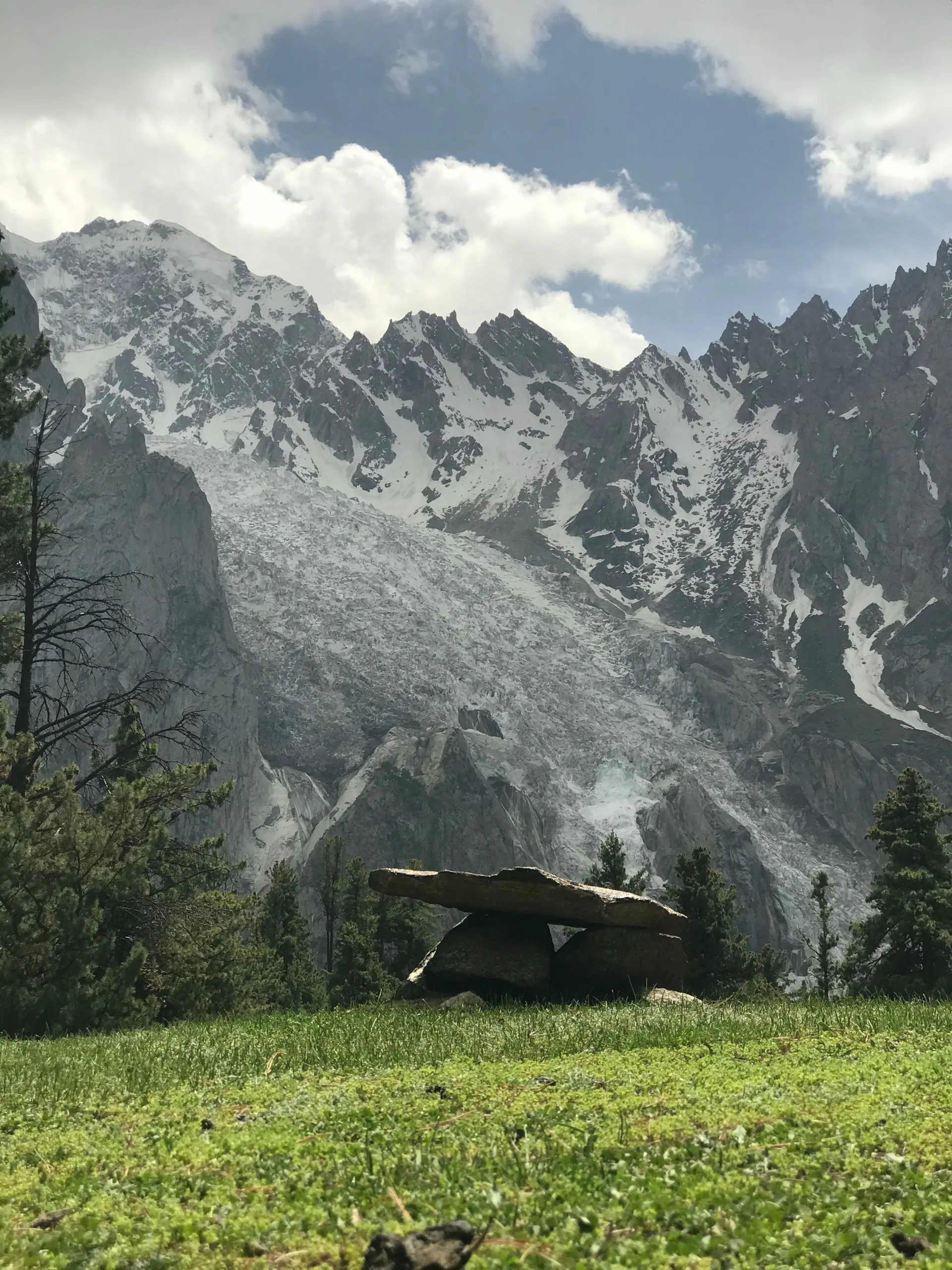
You come out of the trees and stop, because there isn't anything sensible to do with what's in front of you. For the last hour you've been in pine forest watching your own feet. Then the forest lets go of you: an open shelf of grass, a scatter of wooden huts, cows, and the Rakhiot face of Nanga Parbat taking up everything above the tree line. It isn't off to one side. It's straight ahead, and it keeps going up past the point where you expected it to stop.
Nanga Parbat is the ninth-highest mountain on earth and this is the cheapest seat in the house for it. The meadow sits at around 3,300 metres, high enough to shorten your breath and low enough to still have grass and somebody's livestock on it. You don't climb anything to earn it. You get driven up a track and you walk the last of it, and then you're on a slope with an eight-thousander in front of you and a cup of tea in your hand.
Two things decide whether the trip works: whether you can get up there, which is the track and the season, and whether the mountain is out, which is luck and how many nights you gave yourself. We've spent a full day up there inside cloud, listening to something enormous shedding ice we couldn't see. The group who arrived that morning and left the next went home with photographs of white.
The approach, stage by stage
Raikot Bridge. You leave the Karakoram Highway here, between Chilas and Gilgit. There's no town: a bridge over the Indus, a few shacks, a line of jeeps waiting. If you drove from Islamabad you'll reach it inside the thirteen to eighteen hours the run to Gilgit takes, and the turning costs you almost no distance off the drive north.
The handover. Your vehicle stops at the bridge. You transfer to a local jeep with a local driver, and that isn't something you can talk your way around. The drivers hold the route as a concession, and they're not putting an unfamiliar car onto a single-lane shelf where knowing the passing places is the whole skill. Budget the jeep as a chartered vehicle rather than a seat, and settle the number before you're at the bridge with a driver waiting. Trip cost and tour pricing put it beside everything else.
Raikot to Tato. This is the part people talk about afterwards. Unsurfaced, mostly one vehicle wide, cut into the valley side, gaining a lot of height in very little horizontal distance. No barriers. Blind corners where the driver leans on the horn and waits. On several stretches the outside wheels run close enough to the edge that passengers on that side stop talking.
You'll have seen this road on lists of the world's most dangerous. The honest version: it's narrow, unsealed and exposed, the drop is real, and a mistake would be final. It's also driven all season by men who've done it hundreds of times. Jolting rather than heroic. Take the inside seat if you don't like heights.
Tato to the meadow. The road ends. From Tato you climb on foot through forest, steady uphill rather than technical: switchbacks, roots, a long traverse in places. The altitude gets people, not the gradient. Ponies and porters are available and there's no shame in either.
Up on the meadow
The face is the point and it changes all day. First light lands on it before it reaches the grass you're standing on, by late morning it's usually gone behind its own cloud, and the evening often hands it back. That's a pattern, not a forecast. Nanga Parbat stands alone enough to make and unmake its own weather, and the meadow can be in sun while the summit hasn't shown itself in two days.
Beyal is the walk everyone should do. A small camp further up the valley, past the top of the meadow, on gently rising ground with the mountain getting closer and less polite the whole way. A stroll, by the standards of this place. You'll still breathe hard on the rises, and it fills an afternoon.
Nanga Parbat base camp is a different proposition and shouldn't be treated as an extension of the same walk. Past Beyal the trees give out and you're on moraine, loose rock and scree beside the Rakhiot glacier, climbing properly. It's a full day out and it's higher again. Leave at first light and take somebody who's walked it recently, because the last of it crosses ground the glacier rearranges. The Rakhiot glacier viewpoint, short of base camp, is the sensible turnaround for most people.
On altitude: two days ago you were in Islamabad, practically sea level by these standards. Sleeping at 3,300 metres straight off a long drive shows up as a headache, broken sleep, no appetite, and being winded by the steps to your own hut. That settles on its own. Arriving in the afternoon and setting off for base camp at dawn doesn't give it the chance.
The huts and camps
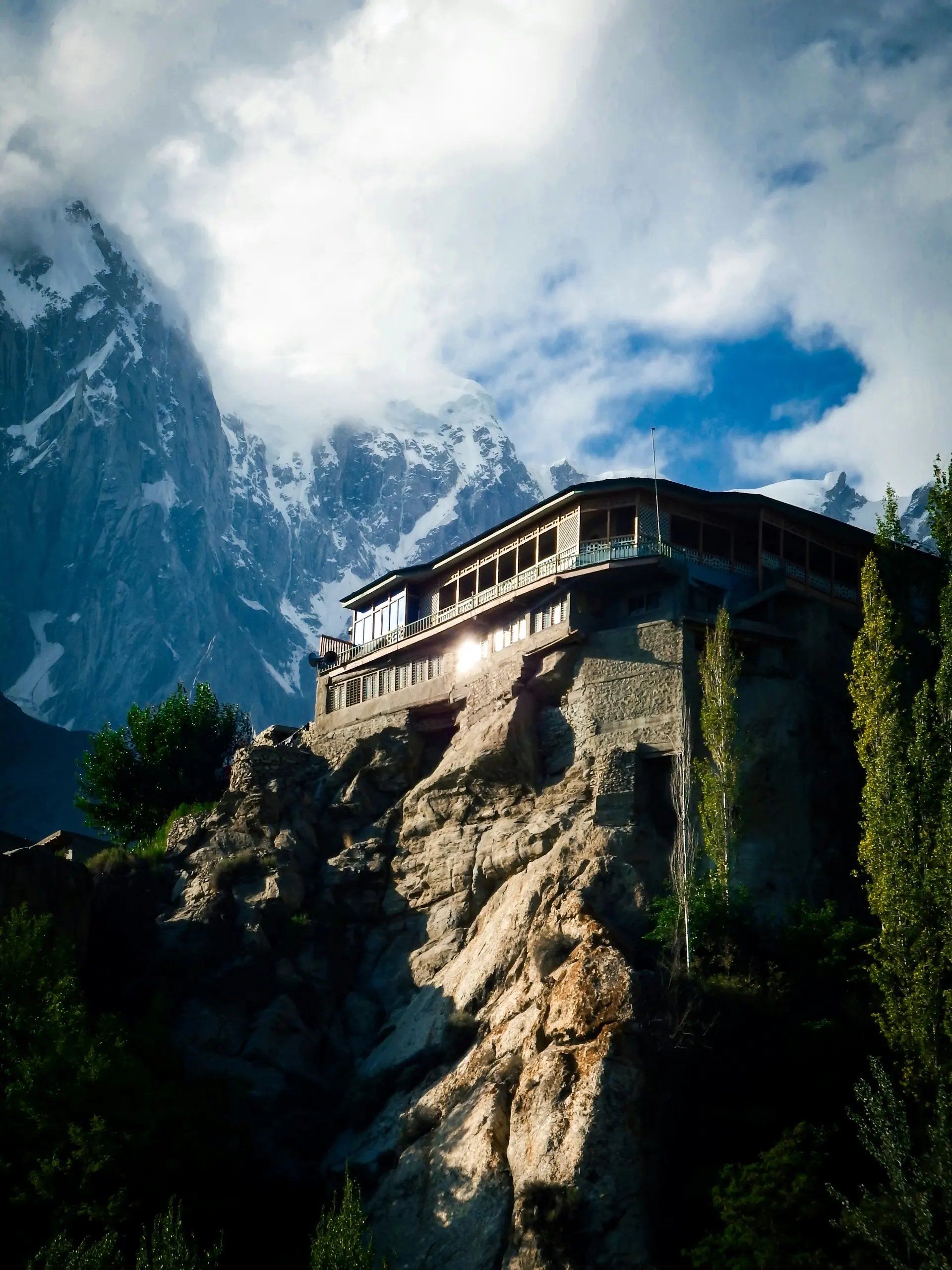
What's up there is a handful of seasonal camps, not a village. Wooden cabins and permanent tents on the meadow, a smaller and rougher cluster at Beyal, and that's the lot. All of it comes down at the end of the season.
Set your expectations at basic. A bed, heavy blankets, often a shared bathroom you walk to. Electricity comes off a generator or a panel for part of the evening, if it runs at all, and hot water means somebody heats a bucket on request. Charge everything at the last hotel before the bridge.
Book ahead in July and August. There genuinely isn't much accommodation up there, the good spots go first, and turning up on spec in high season can mean a tent you didn't want or a walk back down. Online coverage up here is thin, so much of it happens by phone or through whoever arranges your jeep. Bookable hotels has what can be locked in early.
What to bring
Layers, and more than you think. The swing between midday sun on open grass at 3,300 metres and a clear night at the same spot is severe. Something insulating, something windproof over it, a hat, something warm to sleep in. Sun protection too, which people forget because they packed for cold.
A head torch with spare batteries, because there's no lighting on the meadow at all and the ground between huts is uneven. Boots with real grip if base camp is on your list. Whatever medication you take, plus painkillers, blister plasters and something for a bad stomach. Nothing is sold up there.
Cash, and more than you expect to spend. Nothing takes a card and the nearest machine is a long way back down the highway. The jeep, the room, the food, a pony, a guide: all of it settled in notes.
And slack in the itinerary. A spare day buys a second attempt at a clear mountain, and it means a wet day that turns the track greasy doesn't wreck the rest of the trip.
When to go
Late June to late September. The window is set by the access track and by when the huts open, not by the weather. Outside it, nothing runs.
Late June is the thinner end: greenest grass, no crowd, possibly still snow on the higher ground towards base camp. Late September is the other kind of quiet, cold at night with camps shutting around you, so confirm your accommodation is open rather than assuming. July and August are the reliable months and the busy ones, and cloud can sit on the mountain for days. Check passes and roads before you fix dates.
Fitting it into the trip
Raikot Bridge is on the Karakoram Highway between Islamabad and Gilgit, which makes this one of the easiest detours in the north to justify. Drive north, stop at the bridge, go up, come down, carry on. Fly to Gilgit instead and you double back south to the bridge, which is nothing against what you skipped, but read Skardu and Gilgit flights first.
Most people bolt it onto Hunza, and that works well: the bridge on the way up, Karimabad after. Pairing it with Skardu takes more arranging, because that road leaves the KKH further south. See Islamabad to Skardu.
How long to give it
Two nights minimum, and three if base camp matters to you.
One night is the classic mistake, and an easy one, because the itineraries sell it that way. You spend the day on the highway, do the bridge and the track and the climb, and get one evening and one morning out of it. If the cloud is in, that's the whole visit. Two nights buys you a full day with your lungs working, a walk to Beyal or a real attempt at base camp, and two chances at a clear mountain.
Nearby
Gilgit is the nearest town of any size and the usual arrival point, Hunza is further up the same highway and the natural next stop, and Skardu is the other big valley, on a road of its own.