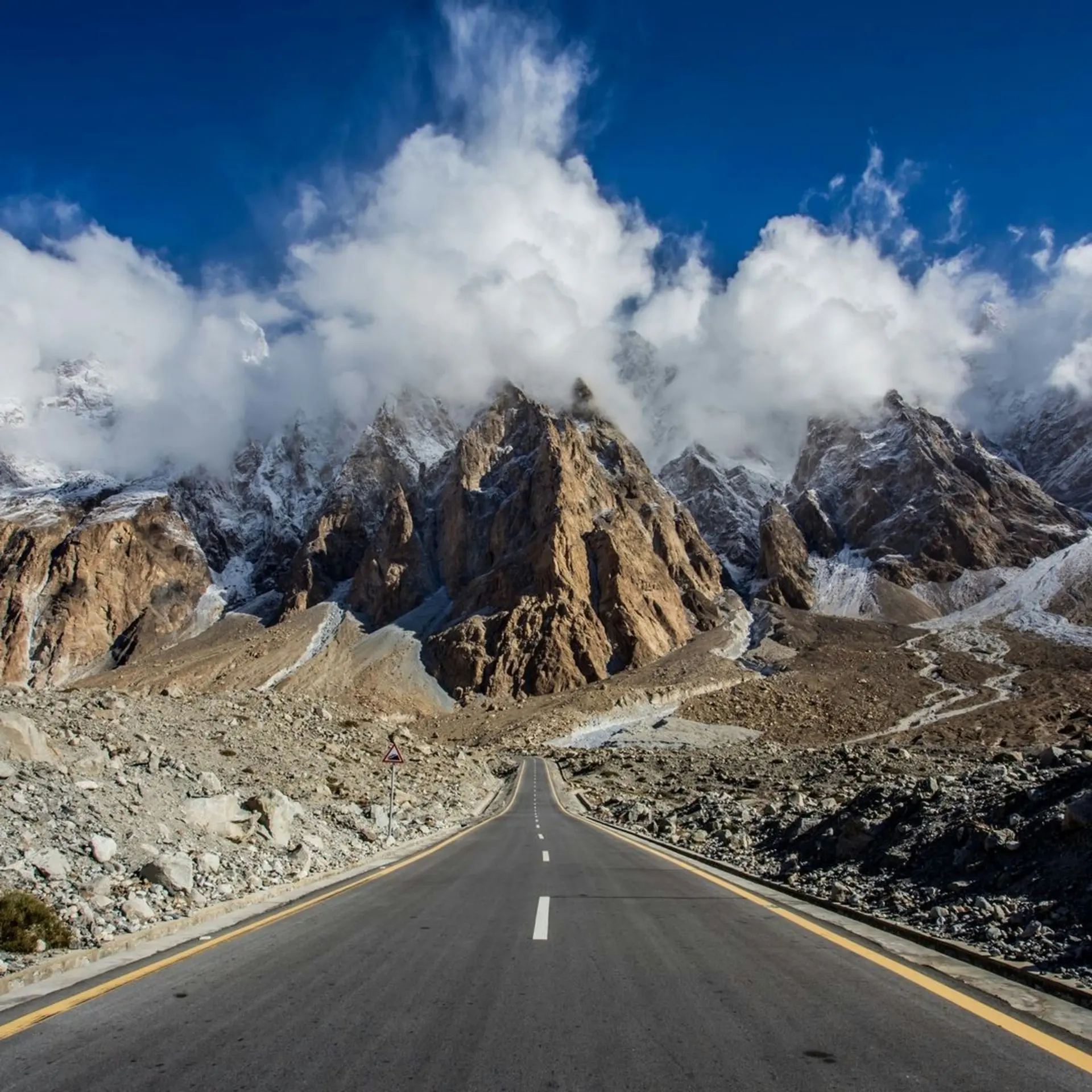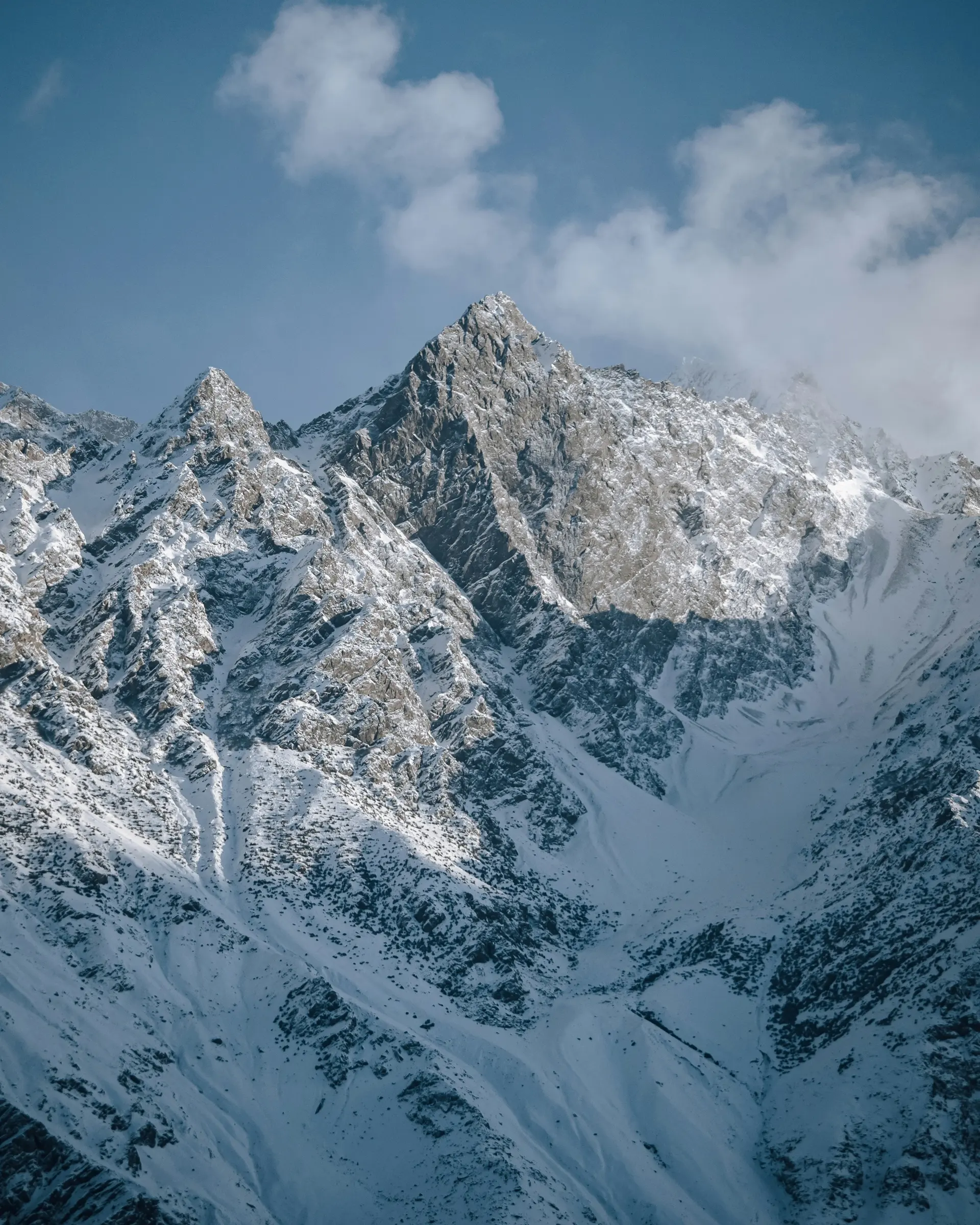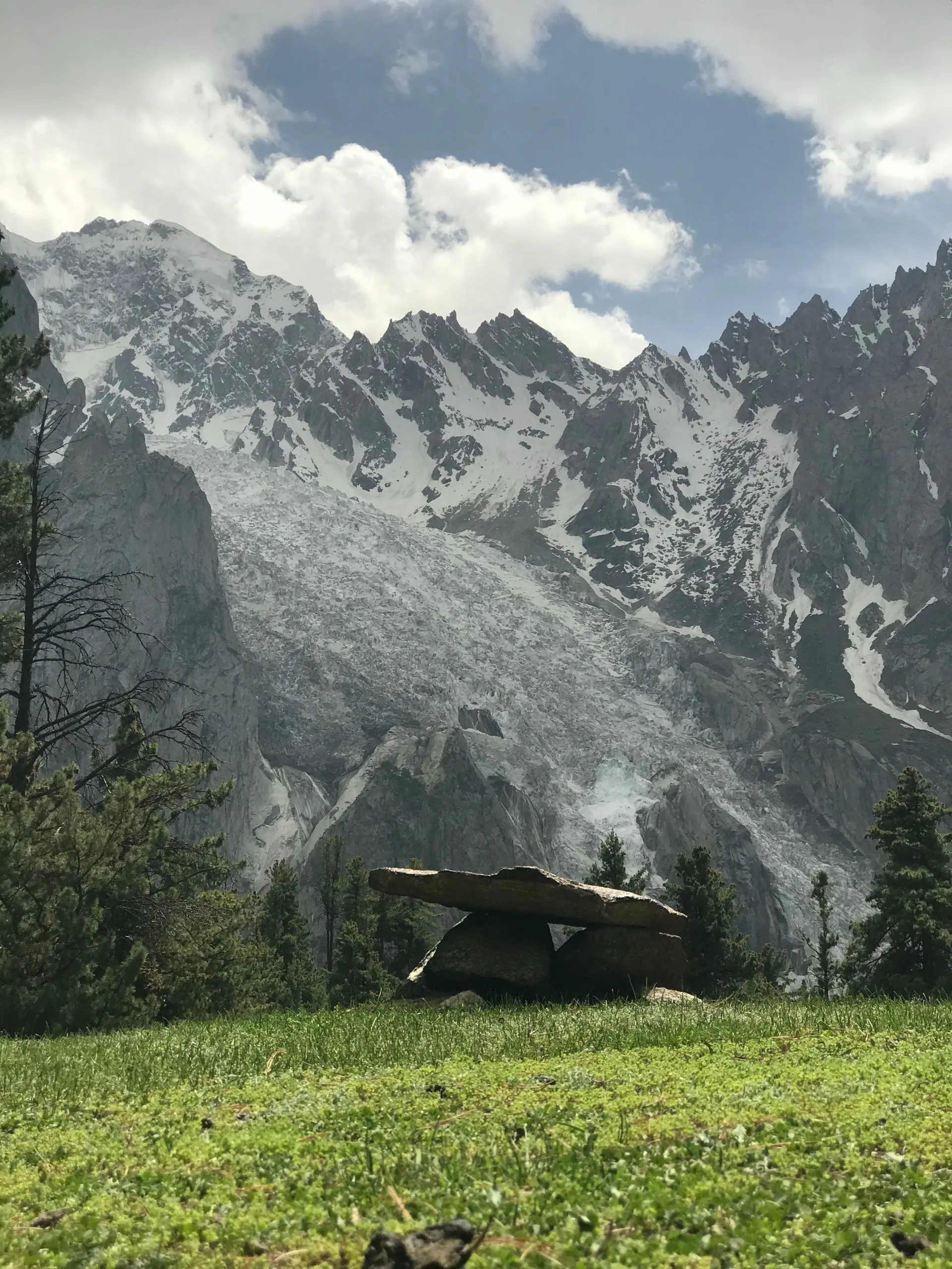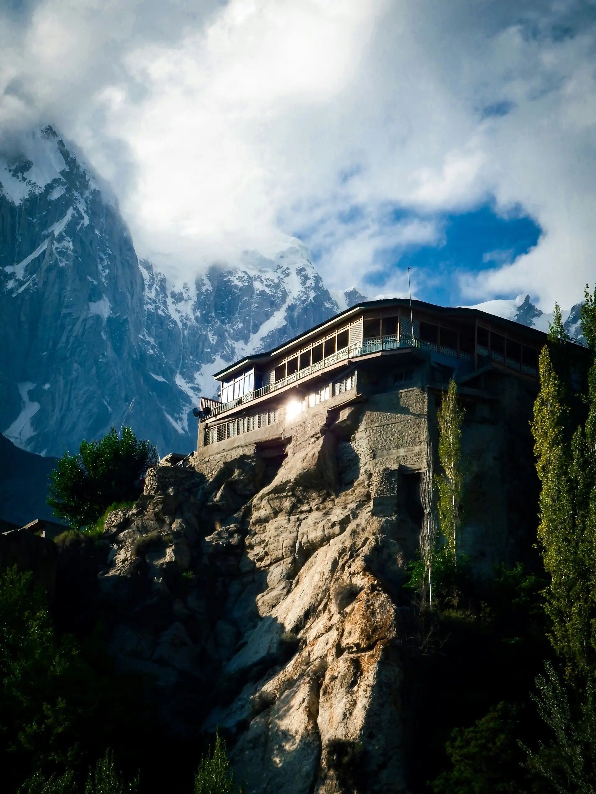
The aircraft drops below the ridgelines before anything looks like an airport. Brown walls too near the wingtip, then the strip along the river with the town packed against it. Drive from Islamabad instead and it takes two days.
Gilgit is a working town at fifteen hundred metres and it isn't pretty. It's also the capital of Gilgit-Baltistan: the offices, the hospital, the university, the only bazaar in the region that reliably has what you need. The river runs grey with rock flour, and jeeps load in the side streets for valleys you've never heard of.
Our opinion hasn't changed: sleep here once, then go. What's changed is why. Forty kilometres south of the roundabout, three of the biggest mountain ranges on the planet meet at a bend in the river. Ten minutes west of the bazaar a seventh-century Buddha is carved into a cliff, from when this was a Buddhist kingdom. Almost nobody arrives knowing either.
What's actually here
The Kargah Buddha is the one we'd get out of bed for. Ten kilometres west up the Kargah nala, cut high into a cliff so you stand underneath and crane. The local story beats the archaeology: an ogress lived here, a saint pinned her to the rock, and the carving is the pin.
The bazaar sprawls off the main road with NLI Market at its centre. Dried apricots, walnuts, almonds and mulberries by weight out of sacks, jeep parts, rope, caps and shawls. The gemstone shops sell aquamarine and ruby; unless you know stones, assume you don't. Chinar Bagh on River View Road is plane trees above the water, and the best place in town to sit once the heat drops.
Free-style polo bears no resemblance to the lawn version. No rules to speak of, no stoppages, sticks and elbows, a band playing throughout. Gilgit plays at the Wahab Shaheed ground in the middle of town, with tournaments around the spring festival and the 1 November independence celebrations. Shandur, in July at 3,700 metres, is the famous one.
Danyor, across the river, is worth an hour. The suspension bridge is five hundred-odd feet of planks and cable, finished in 1960, and it moves under you. Behind it a boulder carries five lines of Brahmi Sanskrit naming seventh and eighth-century rulers with their Patola Shahi titles, in a private garden, so someone has to let you in.
The junction of the three ranges is forty kilometres south on the KKH near Jaglot, where the Gilgit river runs into the Indus: Karakoram north-east, Himalaya south and east across the water, Hindu Kush west, a platform at the roadside. Geology rather than scenery, but you pass it anyway going to Fairy Meadows. Most of a day covers all of that, and that's the right dose: the town isn't the reason to stay, the valleys are.
The valleys nobody uses
Naltar is the one to do. Forty kilometres out on jeep track rather than road, so hire jeep and driver in the bazaar and leave your car behind. Thick pine forest at the top, nothing like the rest of the district, and the Naltar lakes further up on rougher track again. The country's oldest ski slope is here too, air force run. Full day.
Bagrot turns off south-east of town under Rakaposhi and Diran: stone villages, terraces, orchards, and the Hinarche glacier feeding one approach to Rakaposhi base camp. The mountain everyone shoots from the Hunza road, seen from the back, with nobody on it. Jeep, full day. Haramosh, off the Skardu road, is rougher, and Kutwal lake up there is a trek, not a drive.
South below the junction, a lay-by at Jaglot gives you Nanga Parbat out of the haze when it's clear, which it often isn't. West, the road runs through Gupis to Phander, metalled and easy. Phander is the point of it: green valley, water the colour of a swimming pool, trout. Past there it climbs rough to Shandur, where 4x4 stops being advice, roughly June to October. Passes and roads has the state of it. Phander and back is a long day. Chitral over the top isn't a day.
Food, and what to buy where
Ask for the regional food: chapshuro, a griddled bread stuffed with spiced meat, mamtu dumplings, noodle soup. Supplies matter more. This is the best-stocked bazaar in Gilgit-Baltistan and the last proper resupply before the high valleys: buy dried fruit, gas canisters and your SIM here, and draw more cash than you think you need, because machines up the valleys run dry at weekends. Buy the rest in Islamabad: medication you depend on, sunscreen worth the name, technical outdoor kit. Gilgit has quantity, not brands.
Where to base yourself
Jutial, the southern end under the ridge, is where we'd stay: quieter, greener, better rooms, a taxi ride from the bazaar. Chinar Bagh and the river suit a single night when you'd rather feel you've arrived than stopped. Central, by the bazaar, is loud, cheap and right for one case only: in late, out early, half a kit list to buy at seven. Bring earplugs.
When to go
April to October, and the season runs longer at both ends than Hunza's or Skardu's because Gilgit sits lower. Come in April, when Karimabad is bare and Skardu is cold, and this place is in blossom with the lower valleys opening from the bottom up. October runs it backwards. Midsummer is the cost: July and August are hot, dusty and hard work in a town with little shade and bad power, and it's when the KKH slides. Treat Gilgit as a stop, not a stay.
Getting in and getting out
Flying. Gilgit airport (GIL) is in the town itself, flown by PIA from Islamabad. Across a recent year it handled 731 aircraft movements and 31,230 passengers, a fifth of Skardu's traffic, on smaller aircraft into a tighter valley. Treat it as a bonus and the road as the plan: Skardu and Gilgit flights has the odds.
The Karakoram Highway from Islamabad. 570 kilometres, 13 to 18 hours, via Besham, Dasu and Chilas. That spread is check posts, roadworks and whatever the river has done since. Babusar through Naran is shorter in summer and closes with the pass. Between Mansehra and Chilas the highway runs through country several governments tell their citizens to stay out of, which affects your insurance as much as your nerves. The Karakoram Highway guide has it in sections.
North to Hunza. 100 kilometres to Karimabad, 2 to 4 hours, metalled all the way, the finest driving on the trip. Landslides are the variable and clearance is usually same-day, so keep slack in the plan.
East to Skardu. 210 kilometres, 5 to 8 hours along the Indus. The road has been progressively rebuilt, so throw out any timing that predates 2020. Islamabad to Skardu weighs road against air.
West to Chitral. Over Shandur at 3,700 metres, unsealed, 4x4 required rather than advisable, roughly June to October. The July polo festival on the pass fills every bed on the route that week.
How long to give it
A day and a half, with the half going somewhere outside the town. Arrive in the afternoon and walk the bazaar while it's open, buying the week's kit now rather than later. Out to Kargah first thing, then over the river to Danyor for the bridge and the inscription. Town done before lunch. Then run down to the junction at Jaglot, or point the jeep at Naltar and stay up there.
Nearby
Hunza is a couple of hours north and where most people here are headed. Skardu is the other way, up the Indus, and we've taken a side in Hunza or Skardu. Fairy Meadows lies south past the junction, Chitral west over Shandur in summer. A 14-day trip passes through twice, so do the town on the way out.